
1 / 5
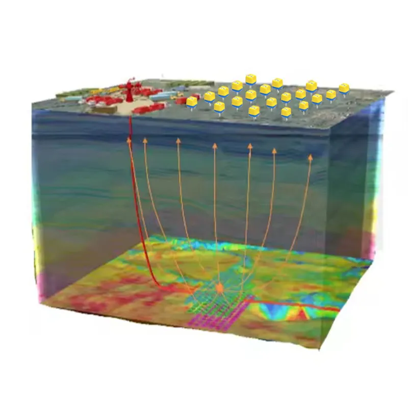
The global demand for critical minerals and metals necessitates increasingly sophisticated exploration technologies capable of imaging deeper, more complex geological structures with unprecedented clarity and confidence. The GD-3C Nodal Seismometer is engineered to meet this challenge as the premier Deep Earth Prospector, transforming seismic survey methodologies for greenfield exploration, brownfield resource expansion, and active mine planning.
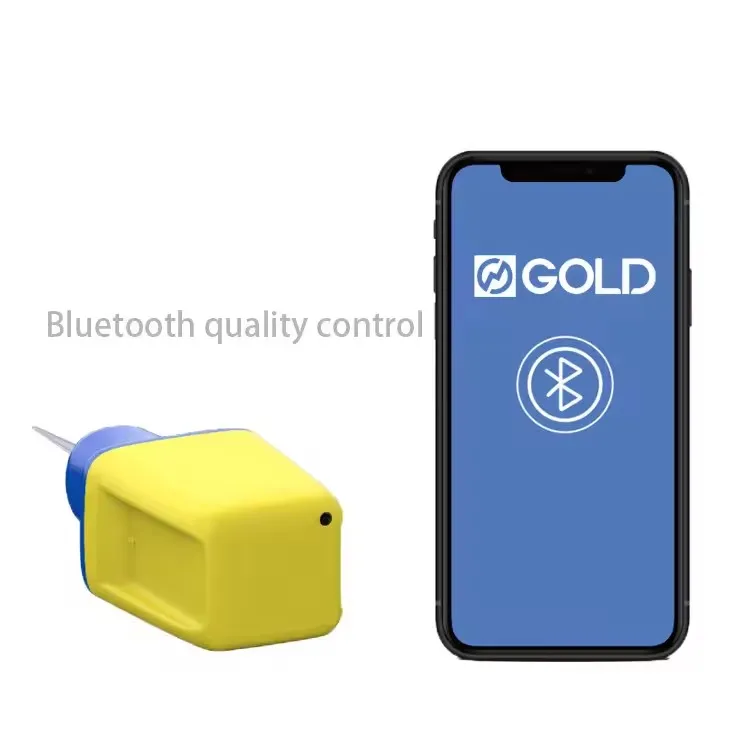
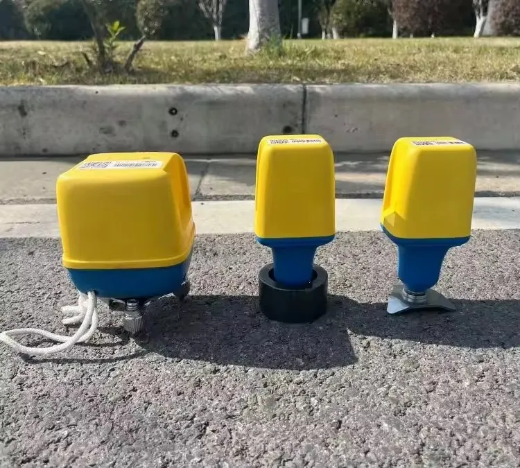
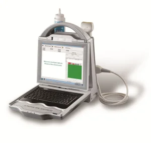
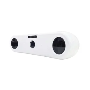
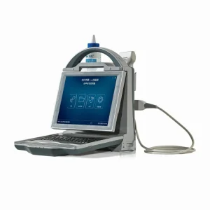
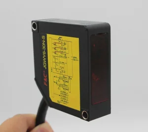
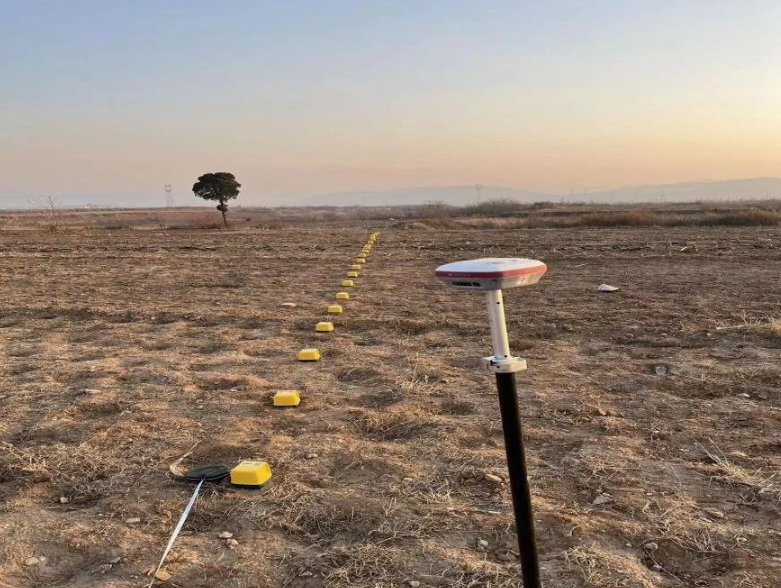
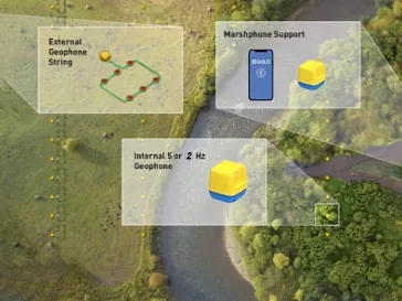
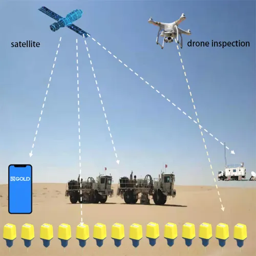
Traditional exploration often relies on widely spaced data points, leading to interpretive ambiguity. The GD-3C system enables high-density, wide-azimuth seismic surveys even in the most challenging terrains—from dense jungle to mountainous regions—thanks to its fully wireless, lightweight, and GPS-synchronized architecture.
The system's broadband sensitivity captures both high-frequency signals for shallow, detailed imaging and low-frequency energy that penetrates to depths of several kilometers. This capability is crucial for discovering porphyry copper deposits, kimberlite pipes, or massive sulfide lenses, allowing companies to pinpoint drill targets with surgical precision.
Within an active mine, the GD-3C transitions into a critical operational safety and planning asset. Deployed in underground drifts or on pit walls, the network provides real-time microseismic monitoring of rock mass stability. It can detect and locate the precursors to rock bursts, slope failures, or pillar collapses, providing mine engineers with a crucial early-warning system.
| Parameter | Mineral Exploration Standard | Operational Impact |
|---|---|---|
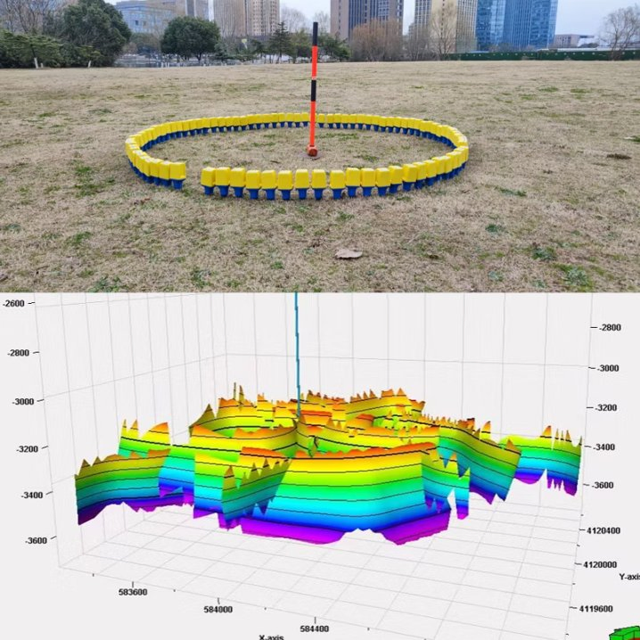
| Array Density | 1000+ nodes per survey, <2m accuracy | Enables high-resolution 3D imaging for complex ore bodies |
| Low-Frequency Extension | Effective signal response down to 1 Hz | Essential for deep imaging (1-3 km) where major deposits reside |
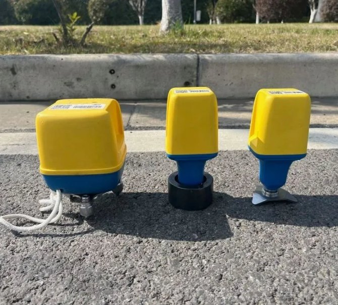
| Ruggedness | IP68 rating, -20°C to 60°C range | Reliable in remote and harsh exploration environments |
| Deployment Speed | 50+ nodes per day (2-person crew) | Reduces survey time and costs compared to cabled systems |
| Data Compatibility | Standard SEG-D/Y output formats | Seamless integration with high-end processing suites |
| Battery Life | 30 days continuous recording | Supports large-scale surveys without frequent swaps |